Two simultaneous emergency situations are displacing or threatening hundreds of thousands of Americans this weekend: the Hawk Fire has forced approximately 90,000 people out of the Reno area (ONYX August 24); Tropical Storm Moke is advancing toward a Hawaii Big Island still recovering from Tropical Storm Lala. The common thread between a western wildfire and a Pacific tropical storm is not geography — it is the underlying climate conditions that have made both more frequent, more intense, and more likely to overlap.
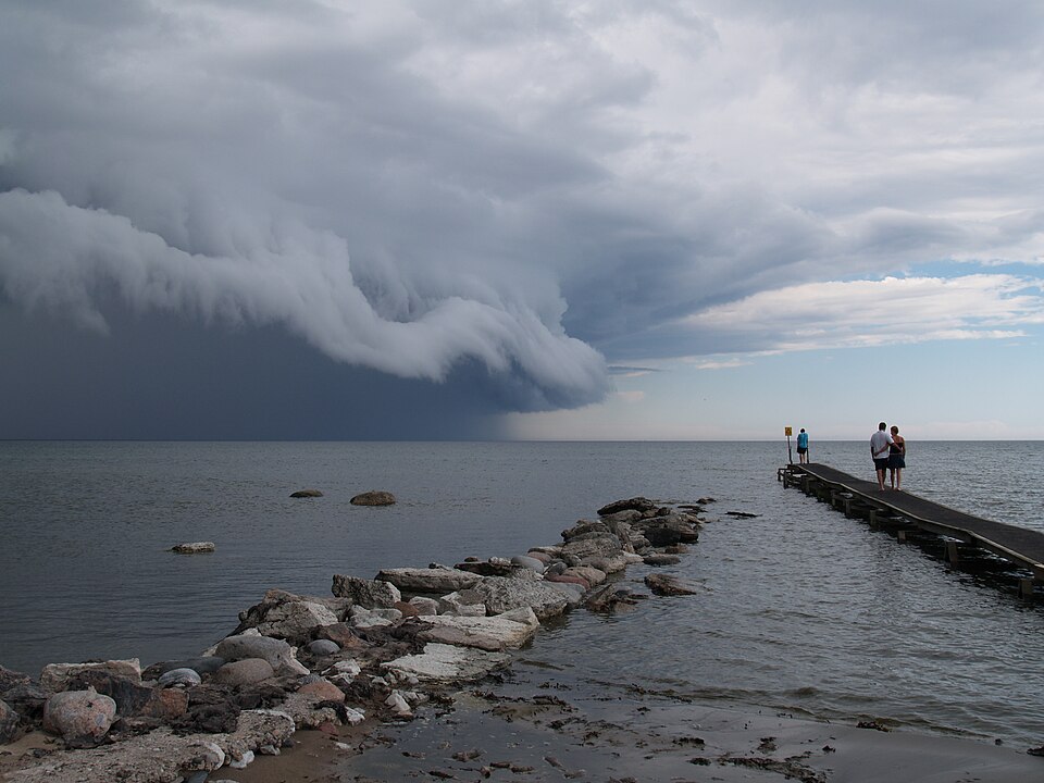
THE COMMON THREAD
The specific climate factors connecting a Nevada wildfire and a Hawaii tropical storm:
▸ Above-average sea surface temperatures: the same warm Pacific Ocean that fuels Hawaiian tropical storm development also reduces the marine layer that historically moderated Great Basin temperatures; warmer, drier conditions in Nevada increase wildfire risk
▸ Atmospheric moisture patterns: climate change is altering the distribution of atmospheric moisture, producing more extreme precipitation events (Hawaiian storms) and more severe drought conditions (Nevada fire fuels)
▸ Fire season extension: western fire seasons now extend further into late summer and early fall, overlapping with peak Atlantic hurricane season in ways that create simultaneous multiple-disaster periods
▸ The 7.7 million acre national context: the largest year-to-date burned acreage in a decade reflects not bad luck but conditions that have made ignitions more frequent and suppression harder
THE FEMA DIMENSION
FEMA is simultaneously managing active emergency responses in Nevada, Hawaii, and Indiana (Day 19 of flooding recovery) while pre-positioning for the Atlantic hurricane season’s September 10 statistical peak. This is not the worst FEMA has faced historically — the 2004 and 2005 hurricane seasons, which produced Charley, Frances, Ivan, Jeanne, Katrina, Rita, and Wilma in rapid succession, were operationally more severe. But it is the most resource-compressed simultaneous-disaster context of the current administration, arriving with a Disaster Relief Fund that was already depleted before the current crisis period.
Nevada is on fire. Hawaii is bracing for another storm. Indiana is in its third week without power. The Atlantic hurricane season peaks in 17 days. These are not separate stories. They are one story about what ‘above-normal’ disaster seasons look like in practice.
WHAT HAPPENS NEXT
▸ Congressional emergency appropriation — whether simultaneous disasters trigger a supplemental appropriation request to replenish the DRF
▸ FEMA resource prioritization — how federal resources are allocated across simultaneous active emergencies and hurricane pre-positioning
▸ September 10 Atlantic peak — 17 days away; the resource environment gets more constrained if a major hurricane develops
| CONFIDENCE: HIGH | Simultaneous disaster context (Hawk Fire Nevada, Moke Hawaii, Indiana Day 19, September 10 peak 17 days away) is from ONYX cumulative documentation August 17-24. Climate common thread analysis is from established NOAA and IPCC documentation. |
SOURCES
▸ ONYX August 17-24 — cumulative disaster documentation
▸ Established climate science — NOAA and IPCC wildfire and storm frequency documentation