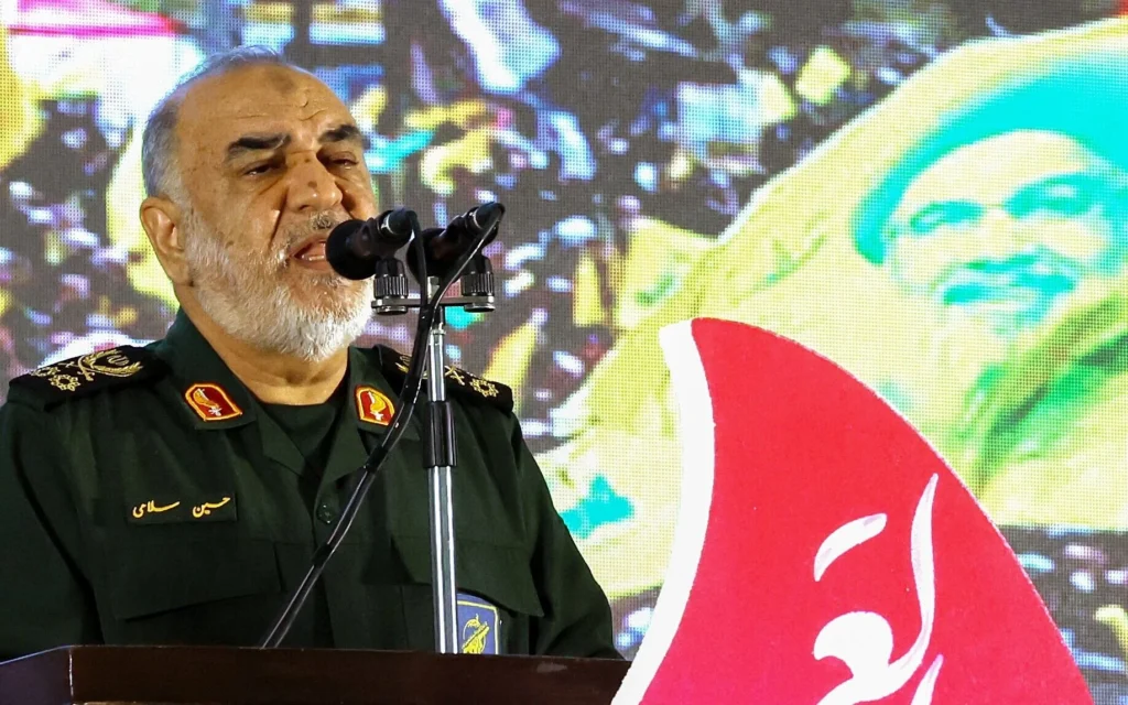
Iran’s newly declared ‘restricted zone’ — beginning precisely at the US naval blockade line and extending into the Persian Gulf — overlaps geographically with the shipping corridors that CENTCOM confirmed just weeks ago it had completed clearing of Iranian sea mines. The same water. The same lanes. The mines were removed so ships could transit. Iran has now declared that transiting ships will face sanctions.
WHY THE OVERLAP IS NOT ACCIDENTAL
The geographic precision of Iran’s restricted zone — beginning exactly at the US blockade line — is not a coincidence of coordinates. It is a deliberate declaration that Iran will contest exactly the space the US has asserted control over. The specific message:
▸ The US cleared the mines to assert Hormuz control
▸ Iran struck Larak Island infrastructure to restore mine-laying capability
▸ The US struck Larak Island to prevent Iranian sea mine restoration
▸ Iran declared a restricted zone at the exact boundary of the US-controlled corridor
Each step in this sequence is a specific contest over the same geographic space. The restricted zone declaration is the latest step in a weeks-long back-and-forth in which both sides are asserting and contesting control of the identical waterway.
THE CEASEFIRE’S SPECIFIC VULNERABILITY
The ceasefire’s Hormuz framework is based on both sides maintaining a functional separation: Iran allows commercial transit through the strait; the US maintains the naval presence that enforces that transit. The restricted zone declaration challenges this separation by declaring that the space between the blockade line and Iranian-controlled waters is now formally contested by both sides simultaneously. If shipping companies treat both the US blockade and the Iranian restricted zone as real, they face the specific problem of contested space with no safe passage through it.
The US removed the mines so ships could pass. Iran declared that the space where the mines were is now a restricted zone. Both sides are asserting control of the same water. Commercial ships have to choose which assertion to believe. Twenty-eight days to October 6.
WHAT HAPPENS NEXT
▸ Hormuz transit count — whether the restricted zone declaration reduces daily commercial vessel transits
▸ CENTCOM posture — whether the US formally contests the restricted zone declaration
▸ Insurance market — war risk premium adjustments for the now-formally-contested Gulf corridor
| CONFIDENCE: HIGH | Iran restricted zone beginning at US naval blockade line, geographic overlap with CENTCOM sea mine clearance corridor from ONYX September 8 Section A Story 2 documentation and CENTCOM August 31 confirmed prior coverage. |
SOURCES
▸ ONYX September 8 and CENTCOM August 31 documentation — Iran restricted zone geographic overlap sea mine clearance