At least 469 people have been confirmed dead. Approximately 2,500 more are missing. The 72-hour survival window has passed. This is a mass casualty event of extraordinary scale. ONYX covers the disaster’s specific dimensions — the scale of the collapse, the speed of the flood wave, the human toll, the accountability gap created by prior warnings that were not acted on, and the secondary threats that remain active. The people who died deserve coverage that matches the scale of what happened to them.
WHAT HAPPENED
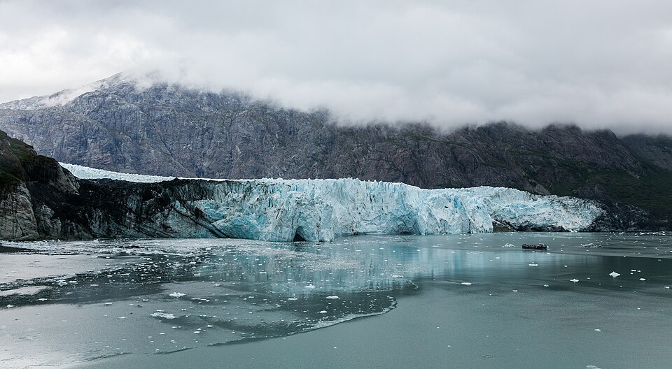
On Wednesday, August 27, a section of glacier on the Nepal-China border — approximately 2,000 feet wide, with a similarly sized accompanying rock section — collapsed above the Bhote Koshi River. CNN’s satellite analysis confirmed the collapse left a 3,000-foot gash in the mountainside. The glacier fell nearly 7,000 vertical feet into the river below.
The resulting flood wave — the combination of glacial ice, rock debris, and the water mass it displaced — descended the first 22 kilometers at an average speed of 193 kilometers per hour, according to Planetary Science Institute scientist Jeffrey Kargel’s analysis. That is approximately 120 miles per hour.
120 miles per hour. A wall of water, ice, and rock debris the width of six football fields, moving at highway speed down a river valley. The people and communities in its path had minutes at most, and many had no warning at all.
THE SCALE OF DESTRUCTION
What the flood produced:
▸ At the Gyirong Port border crossing (China side): Chinese rescue teams reported ‘no discernible outline of any structures’ remained; the entire border crossing was engulfed
▸ At least 469 confirmed deaths across Nepal and China as of Friday’s count; the final figure will be higher
▸ Approximately 2,500 people still missing across both countries as of Friday
▸ Approximately 700 foreign nationals still unaccounted for, including dozens of Americans
▸ Four hydropower plants damaged; 211 megawatts of electricity supply to Nepal’s national grid disrupted
▸ Communications infrastructure collapsed in the disaster zone; rescue coordination relies on satellite communications
▸ Roads and bridges destroyed; access to affected areas severely limited
THE SCIENCE — AND THE CORRECTION
Nepal’s Foreign Minister initially attributed the disaster to a magnitude 4.4 earthquake triggering a landslide. The US Geological Survey later determined no earthquake had occurred. This was a glacial collapse and debris flow: no seismic trigger. The distinction matters for two reasons: (1) a seismic trigger would have been detectable in advance only through earthquake monitoring; a glacial collapse may have had observable precursors; (2) the disaster is the second time this specific river corridor has produced a major glacial flood event in just over a year.
THE BHOTE KOSHI’S PRIOR DISASTER — THE ACCOUNTABILITY GAP
In July 2025, a supraglacial lake drainage in Tibet killed at least nine people and swept away the Friendship Bridge that linked Nepal and China across this same river. That event prompted warnings from climate monitors about recurring glacial flood risk in this corridor. The 2026 disaster is categorically larger — 469 confirmed dead vs. nine, a glacial collapse rather than a lake drainage — but it struck a corridor that regional scientists had already flagged as carrying serious recurring risk.
The specific accountability question this produces: the July 2025 event documented the risk. Glaciologists, climate scientists, and regional disaster risk monitors had identified the Bhote Koshi corridor as a priority monitoring zone. The 2026 collapse was larger and faster than the 2025 event; whether it was detectable in advance and whether the warning systems that could have detected it were in place and operational is the specific accountability question that investigators must answer.
THE RESCUE DIMENSION
Chinese rescue teams at Gyirong Port — at 3,800 meters above sea level — reported that even simple physical activity triggers severe altitude sickness symptoms: chest tightness, shortness of breath, dizziness, headaches. Rescue personnel are working through their own physiological limitations while searching for survivors in a landscape where no structures remain recognizable. The 72-hour survival window for buried survivors has passed. The rescue operation is transitioning from survival search to recovery and accountability.
THE SECONDARY THREAT
Gyirong County officials issued a specific warning as of Friday: rain and cold weather could cause a dam formed during the initial landslide to breach, triggering renewed flooding in the already devastated disaster zone. A secondary flood from a dam breach in a zone where rescue operations are active and remaining structures are compromised would compound the already catastrophic human cost.
A glacier the width of six football fields fell 7,000 vertical feet and sent a 120 mph wall of water down a valley. At least 469 people are dead. 2,500 are missing. The river had already killed people last year. Nobody fixed the underlying risk.
WHAT HAPPENS NEXT
▸ Death toll update — the confirmed count will rise as search operations continue
▸ Missing persons accounting — the 2,500 missing is the most urgent humanitarian figure; every confirmed survivor reduces this number, every confirmed death increases the toll
▸ Dam breach monitoring — the secondary flooding threat is active
▸ Foreign nationals accounting — the approximately 700 foreign nationals missing includes American, European, and other tourists
▸ Climate accountability — whether the 2025 warnings were acted on and what monitoring systems were in place
| CONFIDENCE: HIGH | 469 dead, approximately 2,500 missing, 700 foreign nationals missing, 120 mph flood wave speed (Kargel/Planetary Science Institute), 2,000 foot glacier width, 3,000 foot collapse gash, 7,000 vertical feet descent, Gyirong Port complete destruction, hydropower damage (211 megawatts, four plants), dam breach secondary threat, 3,800 meter altitude rescue, and USGS no-earthquake correction are from CNN and CBS News confirmed reporting. |
| ⚖️ BIAS CHECK — WHO IS SAYING WHAT | |
| CNN Satellite Analysis / Jeffrey Kargel | Planetary science provides the most specific physical description of the collapse; the speed and scale figures are from satellite data analysis |
| USGS | Corrected Nepal Foreign Minister’s earthquake claim; their no-earthquake determination is the definitive seismological record |
| Chinese State Broadcaster CCTV | Reporting conditions on the China side; their accounts of rescue conditions and the Gyirong destruction are the primary Chinese-side source |
| Nepal Authorities | Managing the disaster response; their 469 confirmed death count and 2,500 missing figure are the official record |
| ONYX | Covering at the full weight 469 confirmed deaths require; the accountability gap from the prior 2025 warning is a documented fact, not editorial inference |
SOURCES
▸ CNN — Nepal China glacier collapse satellite analysis Kargel, August 30, 2026
▸ CBS News / AP — Nepal China glacier disaster 469 dead 2500 missing, August 30, 2026
▸ Reuters — Bhote Koshi 2025 prior disaster context, July 2025 (established)
Q: What is a glacial lake outburst flood (GLOF)?
A: A GLOF occurs when a glacial lake — either supraglacial (on the surface of a glacier) or moraine-dammed (held back by accumulated glacial debris) — suddenly drains. The drainage can be triggered by moraine failure, ice dam calving, or seismic activity. The 2025 Bhote Koshi event was a supraglacial lake drainage. The 2026 event was a glacial collapse rather than a lake outburst, producing a larger and faster flood wave.
Q: Why is the Bhote Koshi River particularly vulnerable?
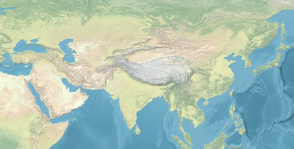
A: The Bhote Koshi rises in the Tibetan Plateau, crossing the Nepal-China border at Gyirong Port before descending steeply into Nepal’s Sindhupalchok district. The steep descent gradient (7,000 vertical feet in the collapse section alone) means any flood wave from above accelerates dramatically as it descends. The river corridor has also experienced increased glacial melt due to Himalayan warming trends that have accelerated the exposure of glacial debris and destabilized ice formations.
Q: What is the golden window for disaster survival?
A: The 72-hour survival window refers to the survival probability for people buried in debris or isolated by disaster. In most natural disasters, the probability of finding living survivors decreases significantly after 72 hours due to dehydration, exposure, and injury. The 72-hour window from Wednesday’s disaster closed by Saturday morning. Rescue operations after this point still occasionally find survivors but transition focus to recovery operations.