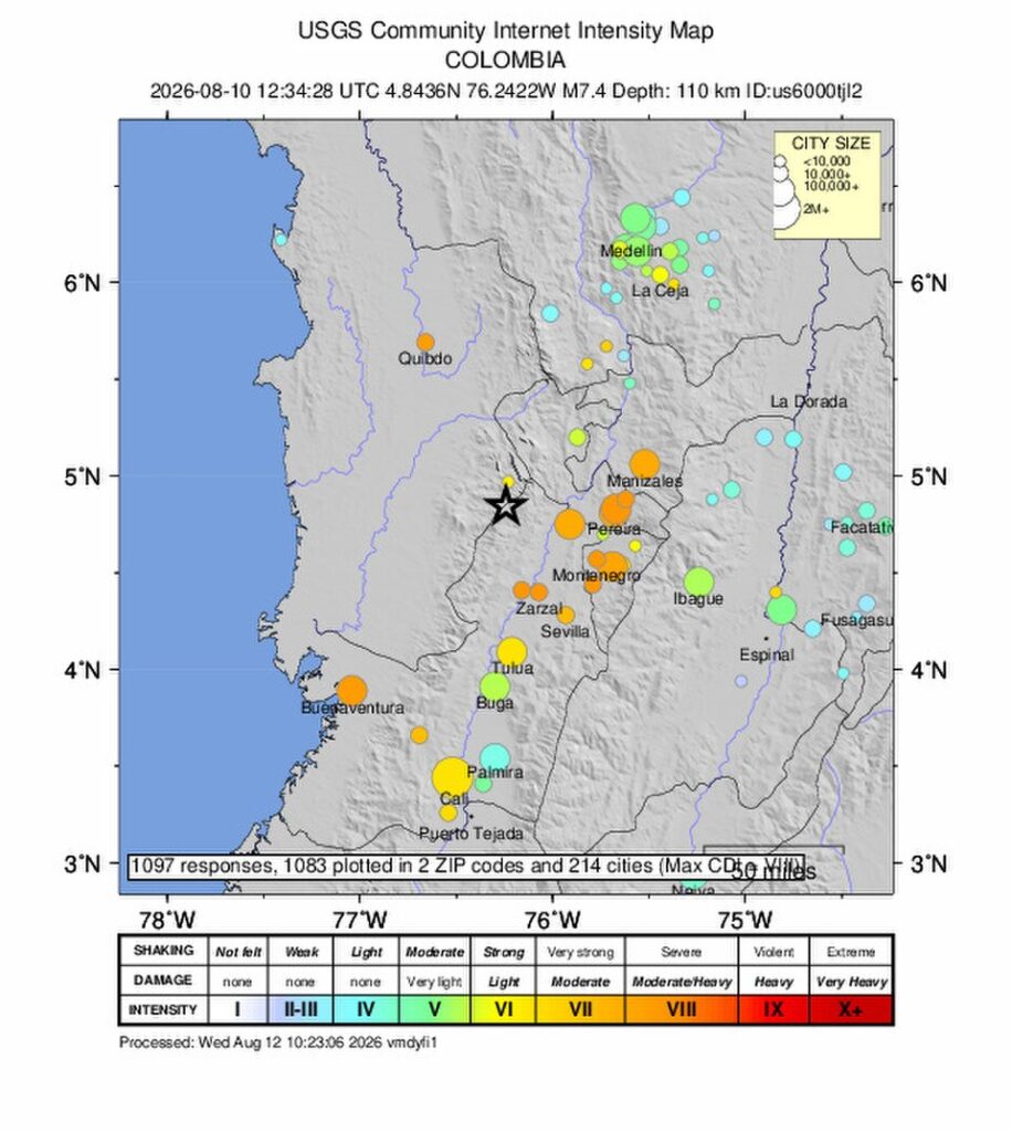
Colombia’s Pacific region, particularly the remote Chocó department at Monday’s earthquake epicenter, sits directly along the ‘Ring of Fire’ — the seismically active belt encircling the Pacific Ocean where approximately 90% of the world’s earthquakes occur. Chocó is one of Colombia’s poorest departments, largely accessible only by boat or plane, covered in dense rainforest. The combination of high seismic probability and extreme access difficulty is the specific geographic reality that both explains the disaster’s severity and complicates every element of the emergency response.
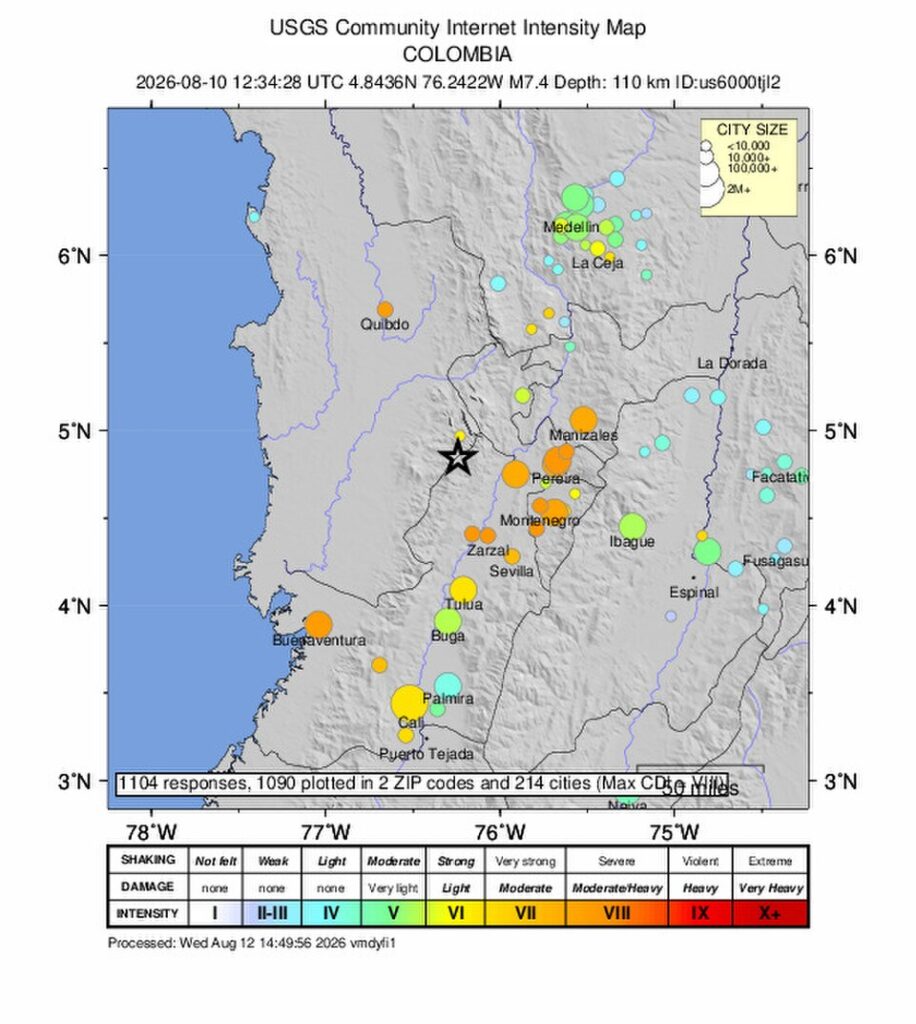
THE RING OF FIRE — WHY COLOMBIA
The Ring of Fire is generated by the movement of several tectonic plates around the Pacific basin. At Colombia’s Pacific coast, three plates interact: the Nazca plate (oceanic), moving east; the South American plate (continental), moving west; and the Caribbean plate (small but active) to the north. Where oceanic plates meet continental plates, the denser oceanic plate subducts — dives beneath the continental plate — generating the stress accumulation and release that produces major earthquakes.
Monday’s 7.4 magnitude event is consistent with this subduction zone dynamic. The epicenter in Chocó is near the Pacific coast where the Nazca plate is actively subducting beneath the South American plate. The stress that built up over years or decades released suddenly — a process that is geologically inevitable in this location. The question is not whether major earthquakes will occur in Colombia’s Pacific region; it is when.
WHY CHOCÓ IS SO POORLY PREPARED
Chocó is not poorly prepared because Colombian authorities have failed to plan. It is poorly prepared because the geographic and historical conditions that produced Chocó — dense jungle, rivers as roads, majority Afro-Colombian and Indigenous population with history of marginalization from national investment — make the kind of infrastructure that would enable earthquake resilience structurally difficult to build and politically difficult to fund.
Building earthquake-resistant structures in Chocó requires getting materials and engineers there — by boat or plane. Maintaining emergency response stockpiles in a region without roads requires sustained logistical commitment that is expensive relative to the population size. The marginalization that makes Chocó vulnerable to earthquake impact is not geological; it is political-economic.
THE HISTORICAL PATTERN
Colombia has documented major seismic events throughout its history. The 1906 Ecuador-Colombia megaquake (estimated 8.8 magnitude) is one of the largest earthquakes ever recorded. The 1999 Armenia earthquake (6.2 magnitude) killed over 1,000 people in a more accessible urban area. Each major event in Colombia’s seismic history reveals the same pattern: the Ring of Fire delivers the earthquake; the built environment and access infrastructure determine the death toll.
| CONFIDENCE: HIGH | Ring of Fire geology and Nazca-South American plate subduction context are from established USGS and geological documentation. Chocó geographic and socioeconomic description is from established Colombian geographic and development records. 1906 and 1999 earthquake records are established seismic history. |
SOURCES
▸ USGS — Ring of Fire and South American subduction zone documentation
▸ 1906 Ecuador-Colombia earthquake — established seismic record
▸ 1999 Armenia, Colombia earthquake — established disaster record